Tag Archives: fire

Two new wildfires in eastern Idaho

08 August 2012, sometime around 16:00 hours a fire started due west of Interstate 15’s Exit 47, near McCammon.

Click pics to see more.

Helicopters and what looked like farm equipment (cutting fire break?) were fighting the wildfire along with local fire departments.  It’s now contained and burned 101 acres (40.8 hectares).

Another fire is still burning to the northeast of the Marsh Creek Fire.  It’s called the South Toponce Fire. It’s not contained and has burned at least 60 acres (24 hectares).

NEW EAST IDAHO WILDFIRE, LITTLE BIRDS BUSY

New East Idaho wildfire, Little Birds busy

01 August 2012, a human caused fire northeast of Preston, in southeastern Idaho, has burned at least 268 acres (108.4 hectares), and is still active.  It’s called the Franklin County Assist 2 Fire.

Click pics to make bigger.

The Ridge Top fire is still burning, east of Blackfoot.  It’s about 70% contained, and has burned more than 16,000 acres (6,474.9 hectares). The fire started on 27 July.

EAST IDAHO WILDFIRES CONTINUE TO BURN

East Idaho wildfires continue to burn

29 July 2012, fires that started on 27 July, east of Blackfoot, Idaho, continue to burn.

Wildfire east of Blackfoot, Idaho, 28 July 2012.

Stevens Peak is 90% contained, and burned 850 acres (343.9 hectares).

The East Fire and the Ridge Top fires joined forces and have burned 12,000 acres (4,856.2 hectares) so far.  The fires are now referred to as Ridge Top, and is only 30% contained.

58 WILDFIRES IN EASTERN IDAHO, AND THAT’S BEFORE THE OFFICIAL FIRE SEASON BEGAN!

58 wildfires in Eastern Idaho, and that’s before the official fire season began!

28 July 2012, fire fighters are still busy fighting numerous wild fires throughout eastern & southeastern Idaho. July is the official start to the wildfire season in Idaho, but so far 58 fires have raged since the beginning of the year!

27July 2012, new fire Fort Hall Reservation (east of Blackfoot), as seen from tens of miles to the southwest, looking northeast from the Simplot Don Plant.

According to the Eastern Idaho Interagency Fire Center (EIIFC) more acres have burned this year than in 2011, 2010 & 2009 combined!  And the official fire season is just starting!

On 27 July 2012, new fires popped up in the Fort Hall reservation northeast of Pocatello (east of Blackfoot). They’re called the Ridge Top, Stevens Peak, East Fire and Gibson Creek fires. Together they’ve burned 8,000 acres (3,237.4 hectares) in less than one day.

Fire officials blame the ongoing, 10+ years drought in Idaho, something the mainstream media seems to ignore when it comes to reporting drought conditions in the United States.

Local fire officials are concerned because most of the fires have yet to hit the tinder dry forests: “Our lower elevations right now are fairly critical. Our upper elevations in the timber, our large fuel, and the trees are drier than normal…”-Lynn Ballard, U.S. Forest Service eastern Idaho

EAST IDAHO WILDFIRES 2012: MAINTENANCE DAY FOR SKYCRANE FIRE FIGHTER @ POCATELLO AIRPORT

S-70 Firehawk caught in rain storm, Pocatello Airport 2012

After weeks of hot dry weather, and lots of wildfires, eastern Idaho gets hit with random thunder/rain storms!

Click on pics (by AAron B. Hutchins) to make bigger:

EAST IDAHO WILDFIRES 2012: MAINTENANCE DAY FOR SKYCRANE FIRE FIGHTER @ POCATELLO AIRPORT

East Idaho Wildfires 2012: Maintenance day for Skycrane fire fighter @ Pocatello Airport

Photos by AAron B. Hutchins. Pics get bigger when you click on them:

EAST IDAHO WILDFIRES 2012: CURRENT FIRES FOR 12 JULY

BUSY 30 MINUTES AT POCATELLO AIRPORT, AS FIRE FIGHTING AIRCRAFT FLY INTO ACTION

SIKORSKY SKYCRANE LEAVES POCATELLO AIRPORT FOR COX’S WELL FIRE

East Idaho Wildfires 2012: Current fires for 12 July

The following is a list of fires burning on 12 July 2012, from the Eastern Idaho Interagency Fire Center (EIIFC);

Butte City #2 Fire: 186 acres, began 11 July, 70% containment.

Midway Fire: Southeast of Experimental Breeder Reactor-1 (EBR-1). 8,900 acres, 25% containment.  Began 10 July.  One of my co-workers had to detour to Idaho Falls, as the fire shut down Highway 26 to Blackfoot.

Cedar Butte WSA Fire: 1,200 acres, began 11 July, 30% containment.

Ross Fire: Began 12 July, contained, less than one acre burned.

Rooster Rock Fire: Southwest of Pocatello, 2,500 acres, began 11 July, 90% contained.

Knox Canyon Fire: 600 acres, began 11 July, 35% contained.

However, I saw smoke from several fires, some maybe not mentioned in the EIIFC report.

12 July, smoke (from Knox Canyon Fire?) seen west of Pocatello Century High School (you know, the new one that looks like a prison). The hill in the foreground was burned during the 28 June 2012 Charlotte Fire.

12 July, smoke seen rising (hard to see in this pic) north of Simplot Don Plant (Cedar Butte WSA Fire?).

12 July, smoke seen rising about ten miles southwest of Pocatello Airport (Rooster Rock Fire?).

EAST IDAHO WILDFIRE 2012: BUSY 30 MINUTES AT POCATELLO AIRPORT, AS FIRE FIGHTING AIRCRAFT FLY INTO ACTION

Boise, Idaho, fire fighters call Pocatello a War Zone! Charlotte and 10 Mile Pass fires still listed as active. New Marsing Fire. Fire agencies not reporting all fires!

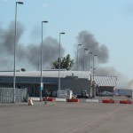
“It’s always sad to come into an area that looks like a war zone, with so many homes that have been devastated.”-J.D. Ellis, Battalion Chief for Boise Fire Department

01 July 2012,  fire fighters from Boise, Idaho, commented on the Charlotte Fire in Pocatello (in southeastern Idaho), saying the geography and vegetation are quite different from what they’re used to in their area of the Gem State.

“It’s been kind of…a learning experience to evaluate the structures and see which ones survived and which ones didn’t survive and try to identify factors between the two.”-J.D. Ellis, Battalion Chief for Boise Fire Department

As of 01 July 2012, the Eastern Idaho Interagency fire map still shows three active fires in southeastern Idaho: Charlotte, Stockton and 10 Mile Fire.

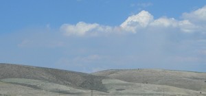
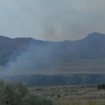
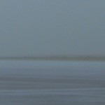
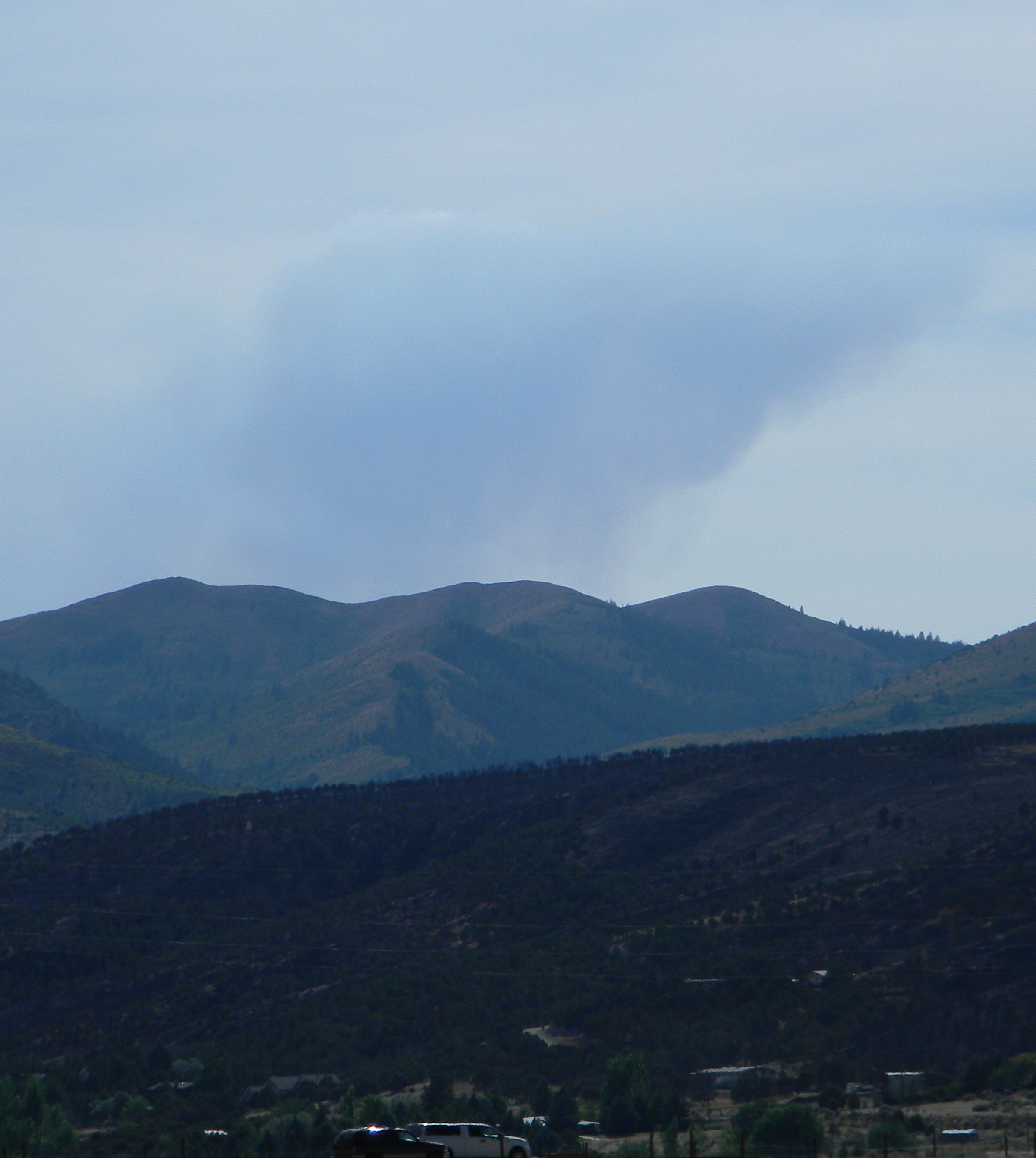
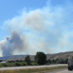
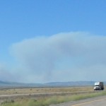
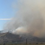
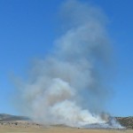
Faint smoke from the 10 Mile Pass Fire, east of McCammon, Idaho, 29 June 2012, about 17:00 hours.

Charlotte Fire reported as burned 1,038 acres (420 hectares) contrary to what national agency reports say.  Stockton Fire is at 1,210 acres (489.6 hectares) and the 10 Mile Fire (aka Ten Mile Pass Fire) is at 1,188 acres (480.7 hectares).

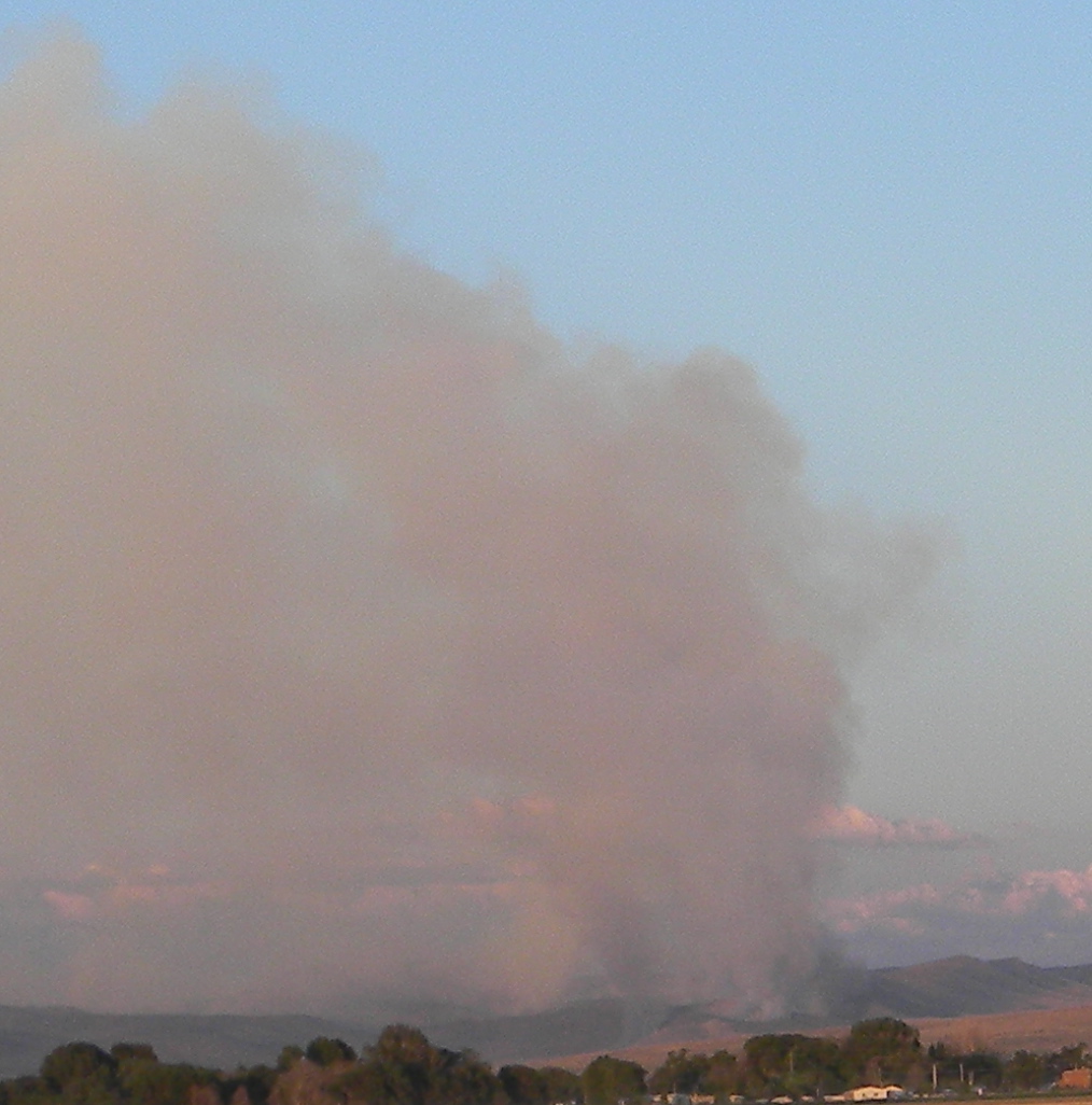
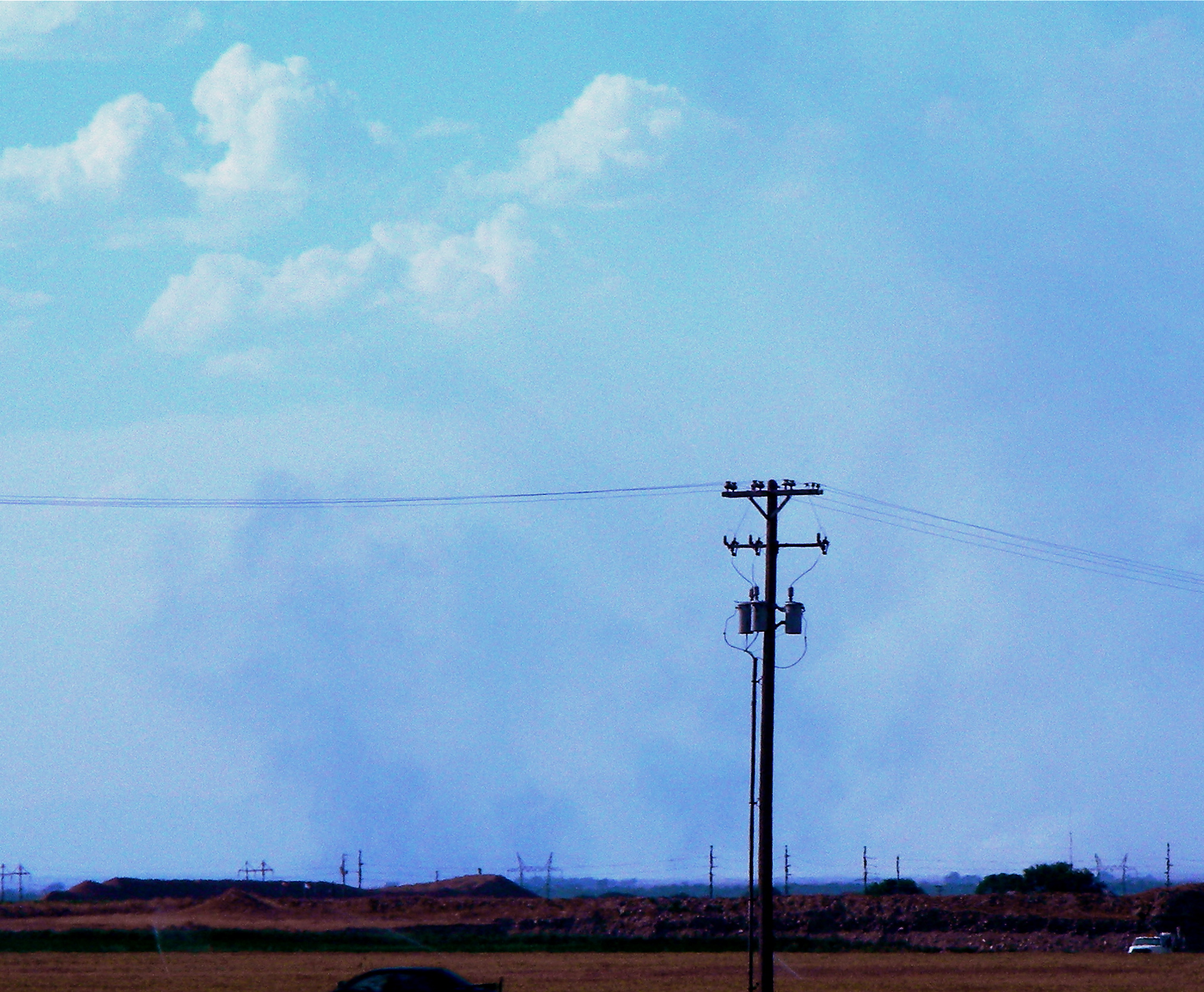
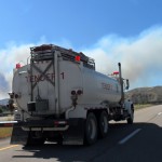
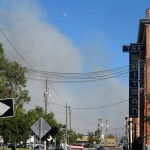
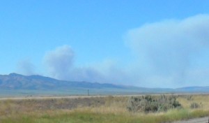
28 June 2012, early stages of Stockton Fire, which actually started north of Banida, Idaho, despite what the media reports say. Farm equipment is blamed.

The 10 Mile Fire reportedly was caused by a agricultural controlled burn that got out-a-control.

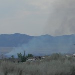
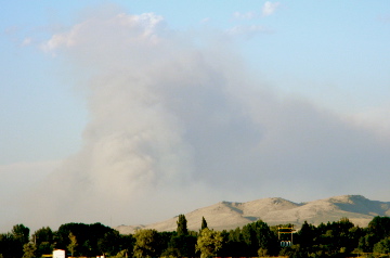
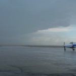
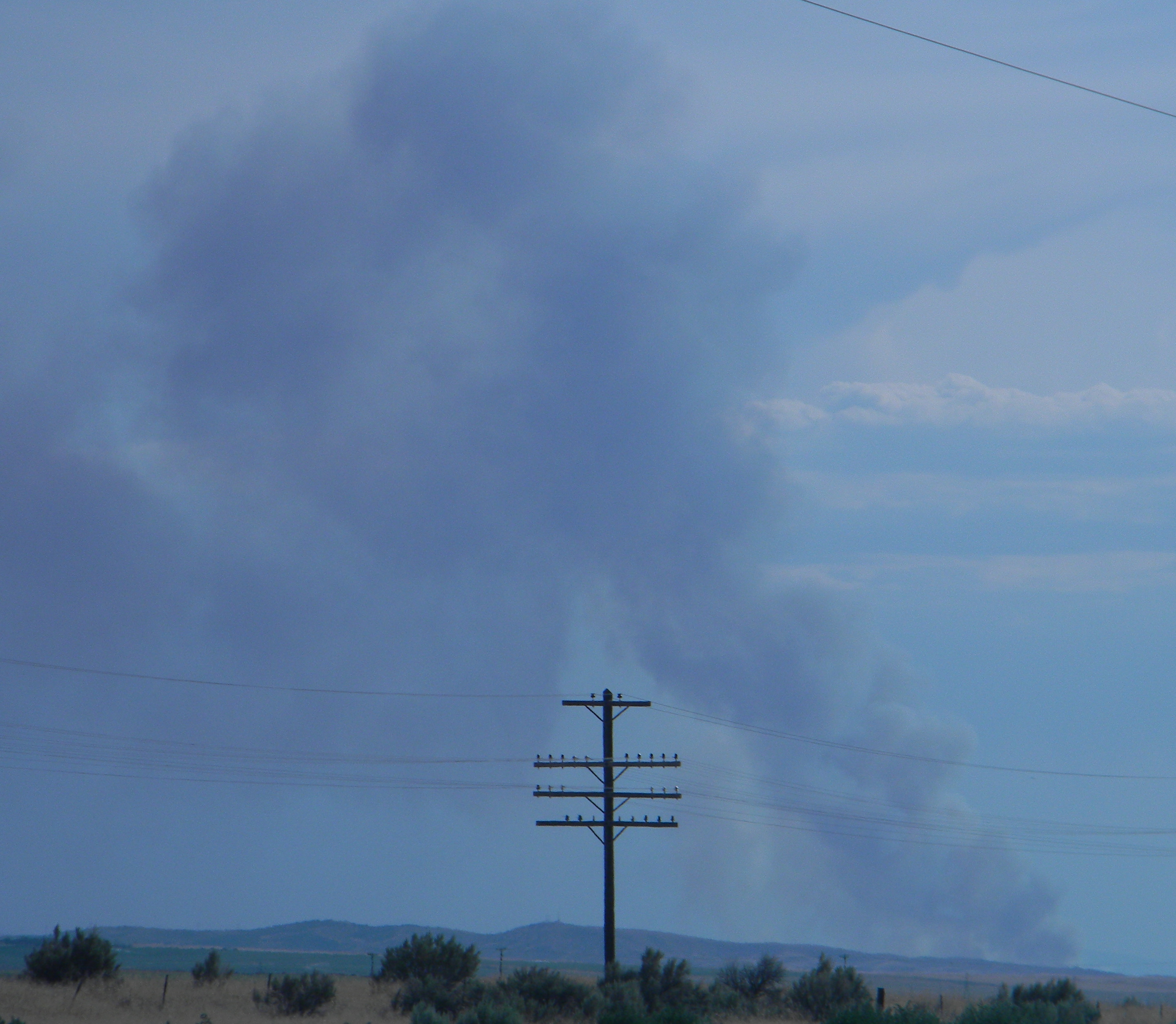
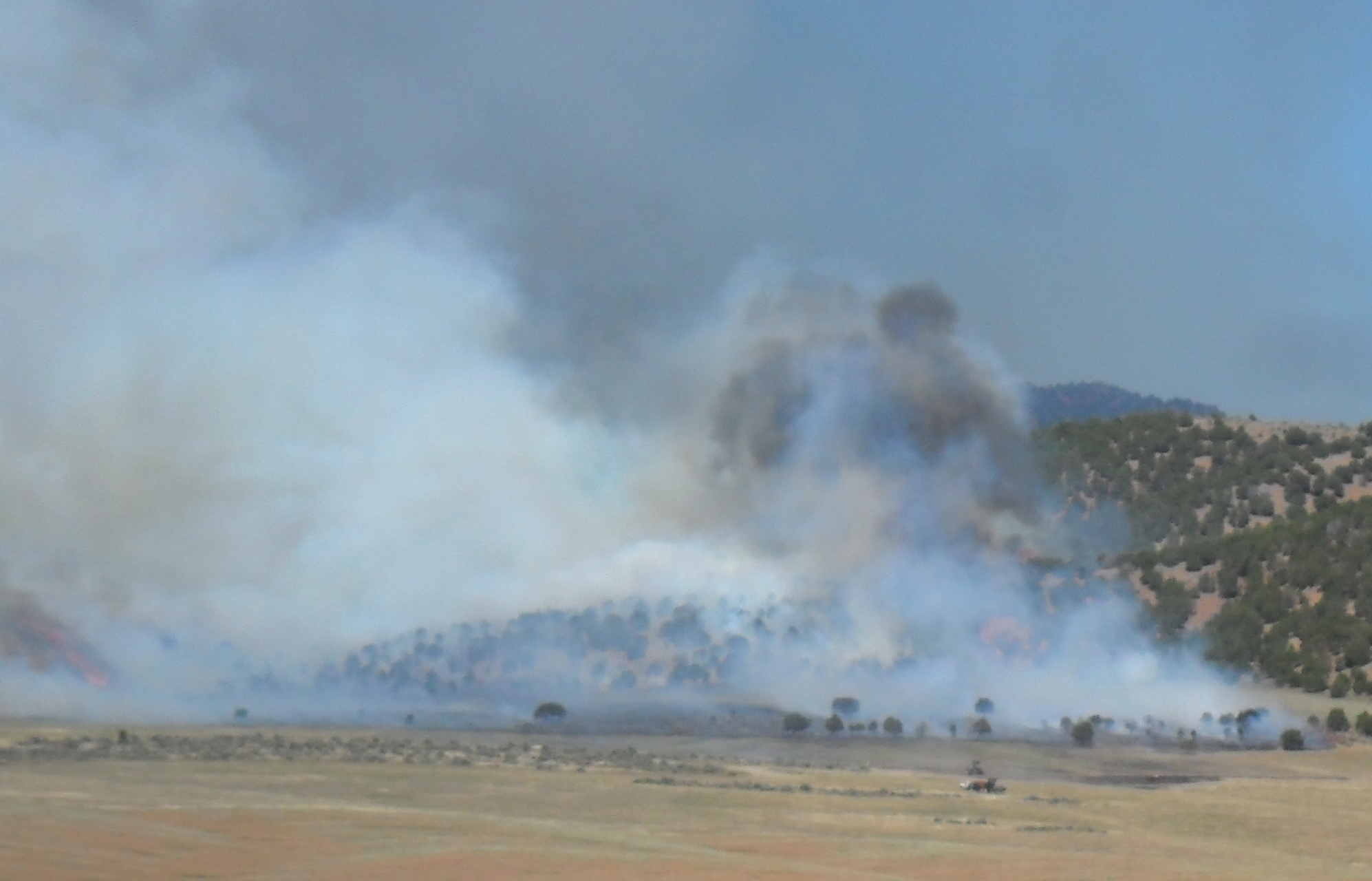
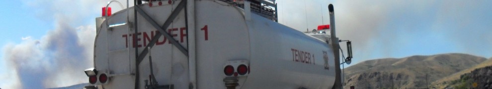
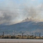
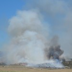
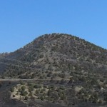
28 June 2012, Charlotte Fire as viewed from south of McCammon, Idaho.

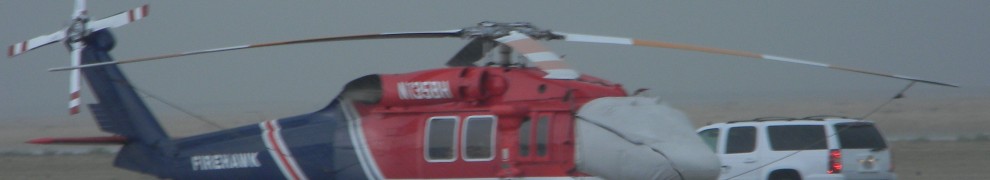
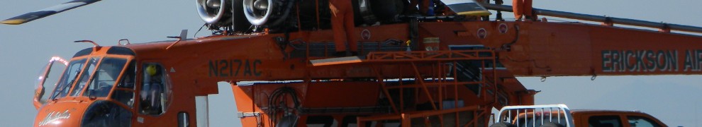
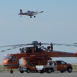
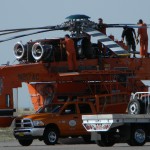
Near Boise, in western Idaho, the U.S. Bureau of Land Management (BLM) is fighting a fire that’s burned 1,500 acres (607 hectares) so far.  It started 30 June 2012, it’s southwest of Marsing, near Jump Creek Road.  Like the majority of fires in Idaho, officials believe it’s human caused.

I could not find the Marsing Fire listed on any interagency maps. The USDA Forest Service Active Fire Mapping Program lists only the Charlotte and Ten Mile Pass fires.

The National Interagency Fire Center is also days behind updating their fire reports.

On 01 July 2012, the National Oceanic and Atmospheric Administration (NOAA) warned of “critical” fire conditions throughout the Pacific Northwest, due to extremely dry air and windy conditions. Humidity levels expected to be as low as 8%!

Idaho’s history includes some intense fire fighting years, starting with the 1910 Great Fire (aka Big Blowup or Big Burn), and then most recently the fires of 2007.  Some fire fighting ‘experts’ are already calling 2012 a record year for the numbers of fires in Idaho.

BLM officials are blaming the decades long drought. Lynn Ballard, southeastern Idaho USDA Forest Service official, says a lot of autumn vegetation (they like to call them “fuels”, which also applies to anything that burns) dried out during the dry winter.  With the snow melt and few rain storms during spring came more vegetation growth, but that dried out quickly.  The result is lots of tinder dry brush, and now we’ve got hot and extremely dry weather.

While the mainstream U.S. news media has been reporting lightning as the main causes of wildfires around the country, not so in Idaho.  The overwhelming majority of Idaho wildfires have been human caused, by accident or on purpose.

Federal officials say prior to 2003 most Idaho wildfires were caused by lightning, the increase of human causes they blame on ignorance: “There’s a multitude of things that can lead to a human caused fire, so people just need to be cognizant of the things that they’re doing, of things that have heat that…could start a fire.”– Lynn Ballard, USDA Forest Service

Charlotte Fire 80% contained. Vulture/desperate contractors already descending. 


Pocatello burning! Evacuations! Southeast Idaho burning! Bannock County bans fireworks, declares state of emergency!

Click on pics to make them bigger. Pics by me.


Finally, Texans are wondering where their Christian governor Rick Perry has gone to, while they burn in hell

September 9, some Texans yelled at Lieutenant Governor David Dewhurst when he visited hard hit Bastrop County, asking where Perry is and why they haven’t had any help!

Why ‘christian’ Rick Perry is out campaigning for President of the United States, don’t they know?

Nearly 1,400 homes have been destroyed by fire in Bastrop County alone.

Perry did issue a response through his office: “…everything that needs to be done to respond to these fires is being done.”

Do we really want Rick Perry as President of the United States?