
“Mother Nature doesn’t operate on a calendar, so this is a reminder to always be prepared.”-Colonel Jeffrey A. Van Dootingh, 403rd Wing USAF Reserve
U.S. Air Force photo by Technical Sergeant Christopher Carranza, 16MAY2020.
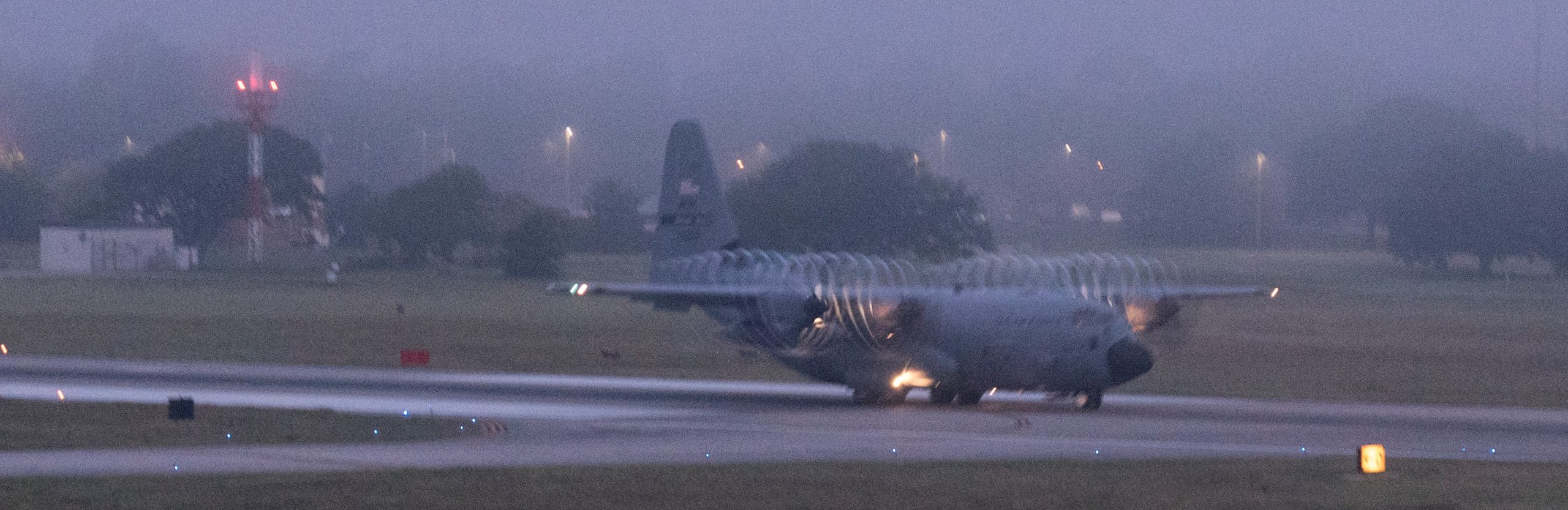
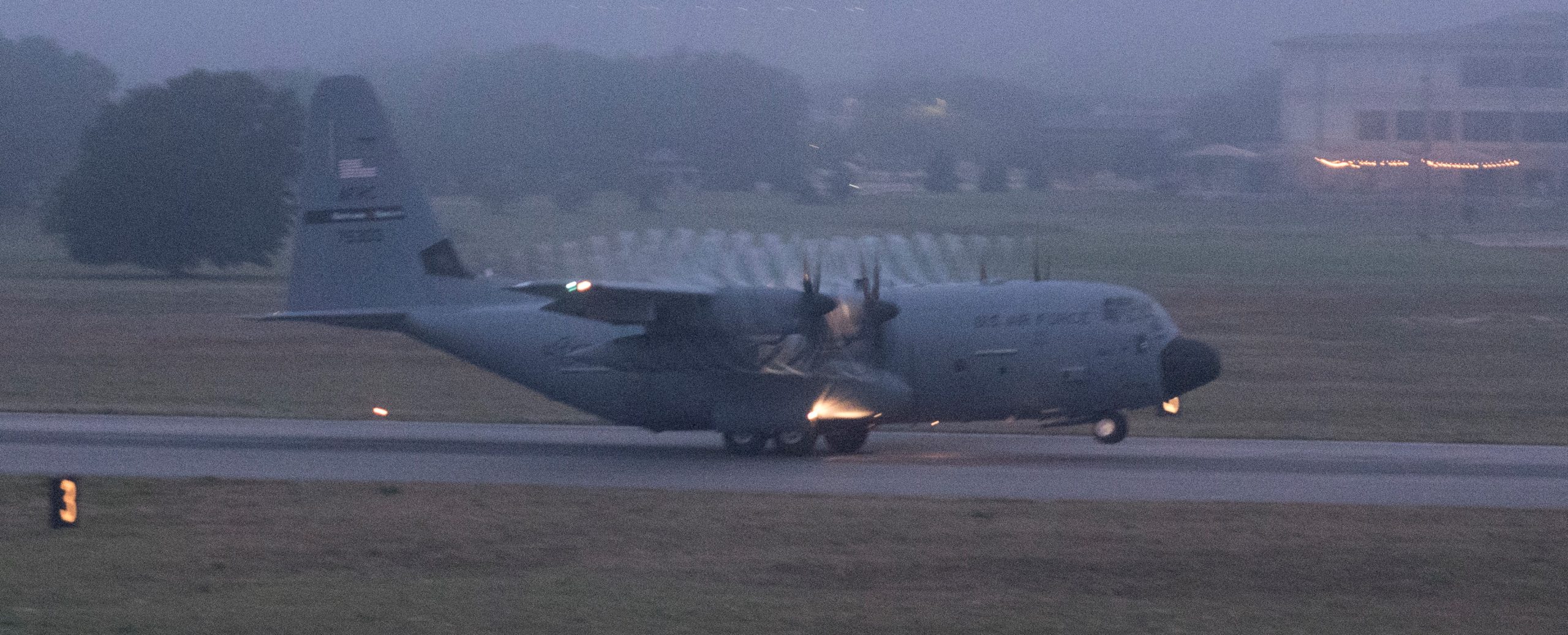
Despite the Atlantic Hurricane Season not officially starting until June, on 16MAY2020 the U.S. Air Force Reserve launched its hurricane tracking WC-130J aircraft based at Keesler Air Force Base, Mississippi.
USAF photo by Technical Sergeant Christopher Carranza, 16MAY2020.
The 53rd Weather Reconnaissance Squadron is concerned about a possible developing tropical depression or storm near the Bahamas (on 16MAY2020 it was called Invest 90L).
USAF photo by Technical Sergeant Christopher Carranza, 16MAY2020.
Short video of first WC-130J launch of 2020 Atlantic Hurricane Season:
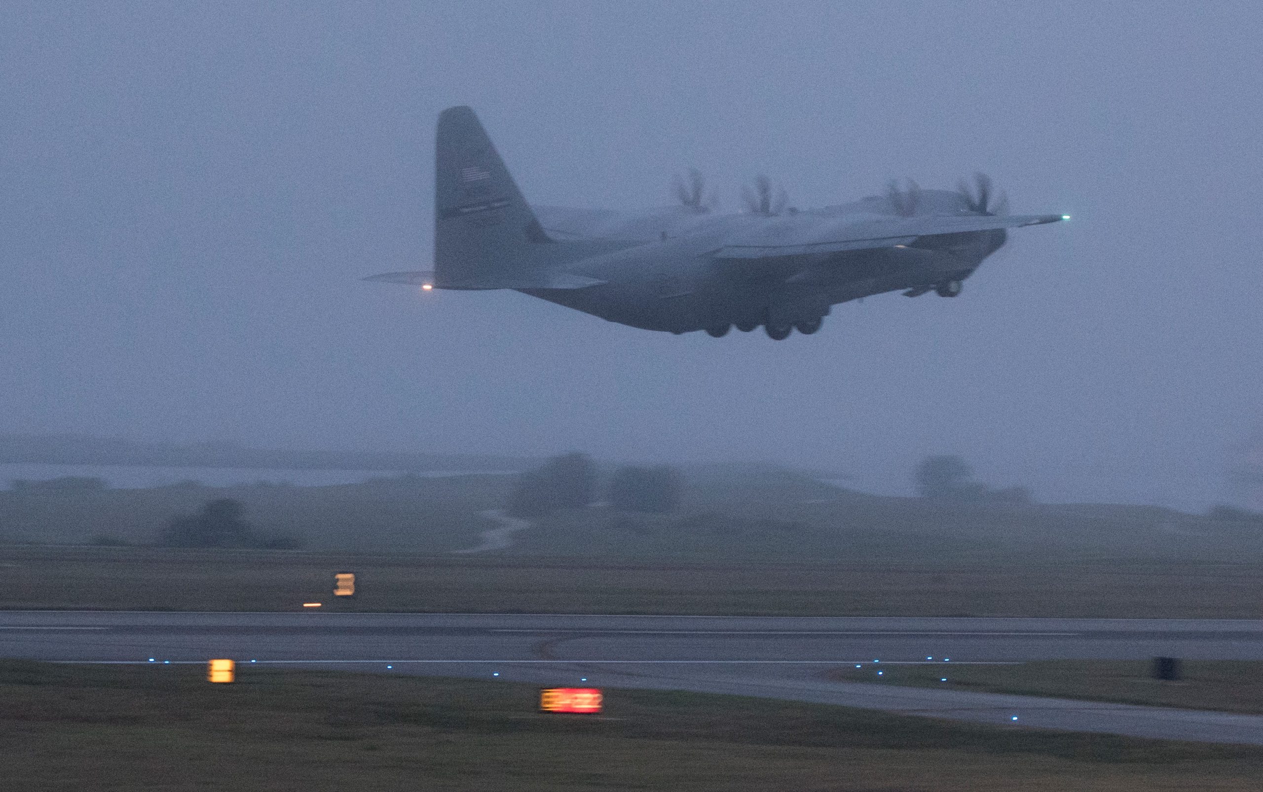
On 17MAY2020, Invest 90L became Tropical Storm Arthur. This is the sixth year in a row that a Tropical Storm developed in May.
USAF photo by Technical Sergeant Christopher Carranza, 16MAY2020.
During ‘invest’ flights the WC-130Js fly at low altitudes (500 to 1,500 feet, 152 to 457 meters) to determine if there is a closed circulation. Once a system becomes a storm the WC-130Js fly at higher altitudes (5,000 to 10,000 feet, 1524 to 3048 meters), and fly through the eye of the storm several times during a mission. Dropsondes are launched from the aircraft into the storm, which then communicate with the National Hurricane Center via satellite link. (What’s a storm tracking Dropsonde?)
WC-130J & WP-3D: HUNTING DORIAN
WC-130J SUPER HERCULES TRACKS HURRICANE HARVEY
AIRBORNE HURRICANE HUNTERS, WHEN DID IT ALL START?